Digital Twins for Construction Monitoring
Comprehensive geospatial intelligence and real-time 3D visualization services for complete control over complex construction and infrastructure assets. We combine LiDAR and photogrammetry reality capture, BIM-to-physical overlays, AI-driven progress auditing, and high-precision digital engineering to mitigate risks, eliminate rework costs, and accelerate executive decision-making.
Reality Capture & Digital Topography
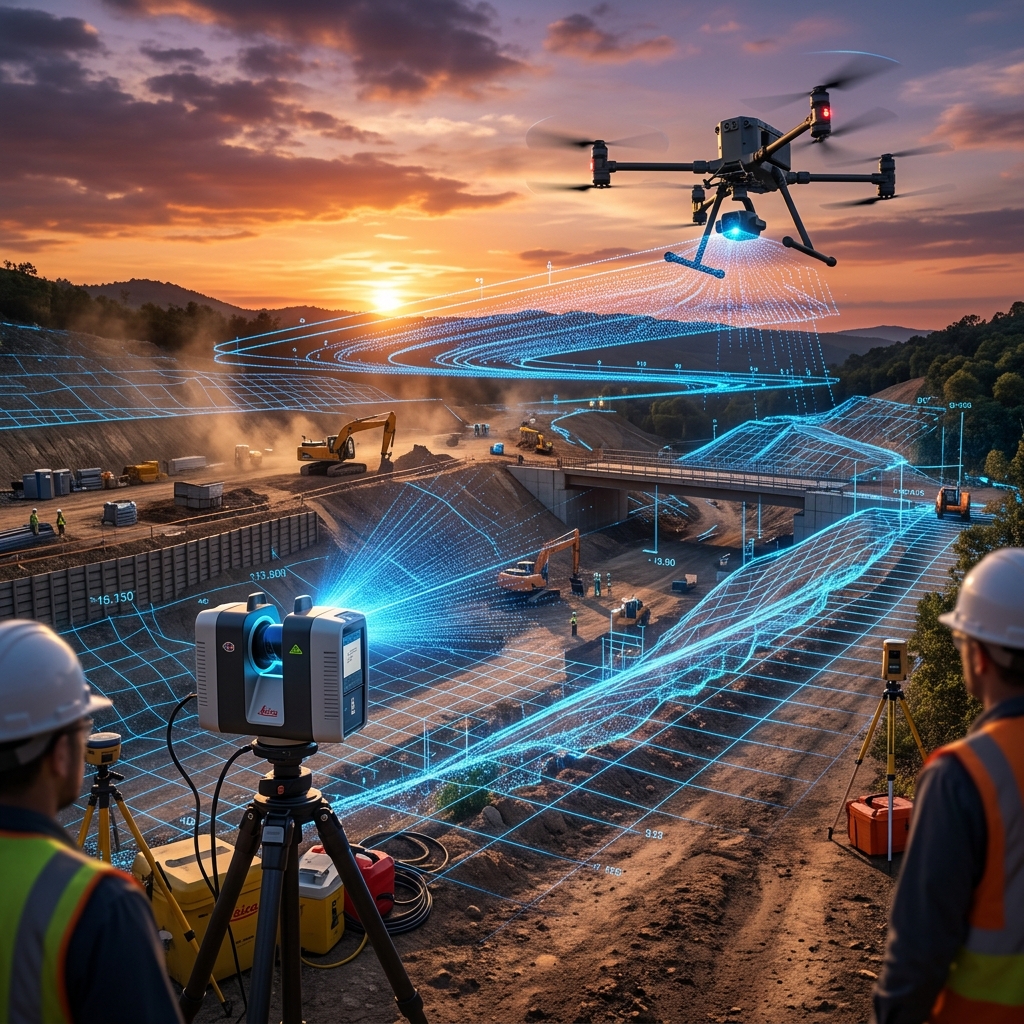
Master terrain and site conditions with millimeter-level LiDAR point clouds, high-resolution photogrammetry, hydrographic bathymetry, and automated cut & fill terrain models (DTM) from day one.
BIM Overlay & 3D Progress Control
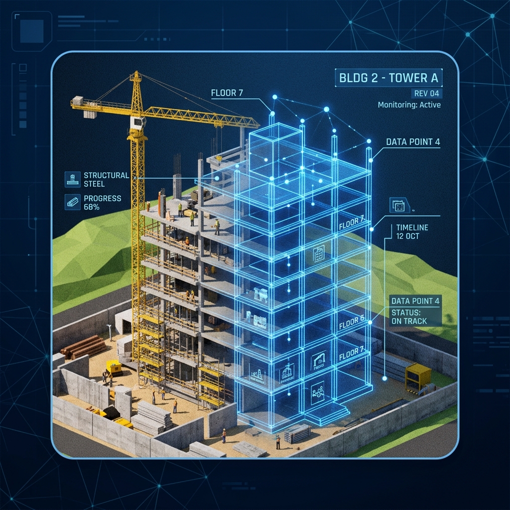
Compare as-built site conditions directly against architectural BIM models (Revit/Navisworks) and executive schedules, isolating spatial deviations and trade clashes before they lead to expensive rework.
Digital Inspection & AI Intelligence
Applies advanced artificial intelligence models and digital engineering for automated detection of structural cracks, defects, and surface wear, backed by dynamic dashboards and cloud-accessible executive reports.
Our Specialized Services
Reality Capture & Terrain Analysis
The precise digital foundation for the entire project with LiDAR, photogrammetry, and bathymetry.
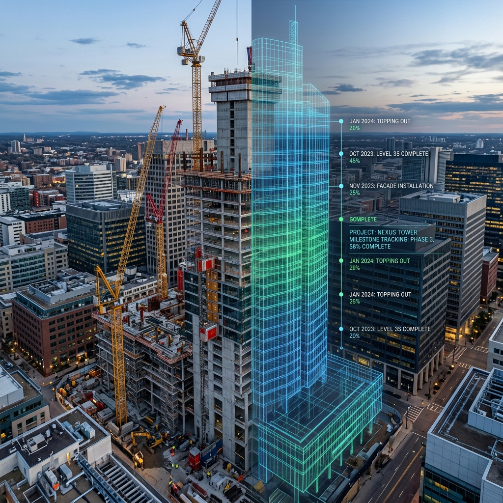
Construction Progress & Milestone Tracking
Total project control with verifiable evidence, technical timelapses, and executive reports.
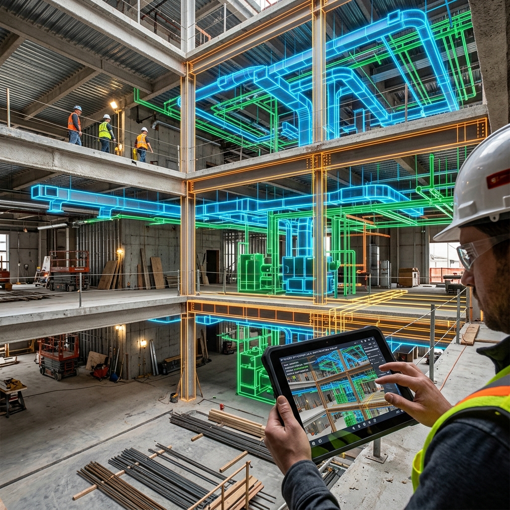
BIM Overlay & Clash Detection
Direct synchronization between 3D design models and physical field progress to catch deviations early.
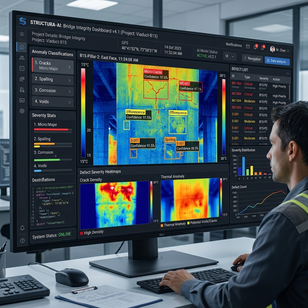
Digital Inspection & AI Anomaly Analysis
Smart defect detection, automated severity classification, and predictive maintenance mapping.
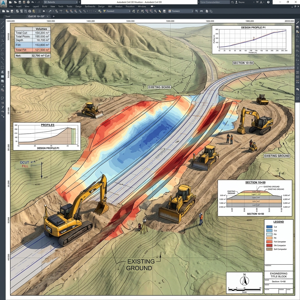
Digital Engineering & Earthworks
DEM/DTM terrain modeling, automated cut & fill calculations, and geometric road design.
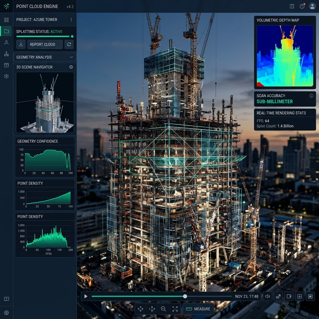
Gaussian Splatting & Simulations
High-definition virtual walkthroughs to explore your site as if you were physically there.